Linear Infrastructure Ecology and Planning
The Center is leading research on the effects of linear infrastructure on conservation objectives and planning across the state of Florida and beyond.
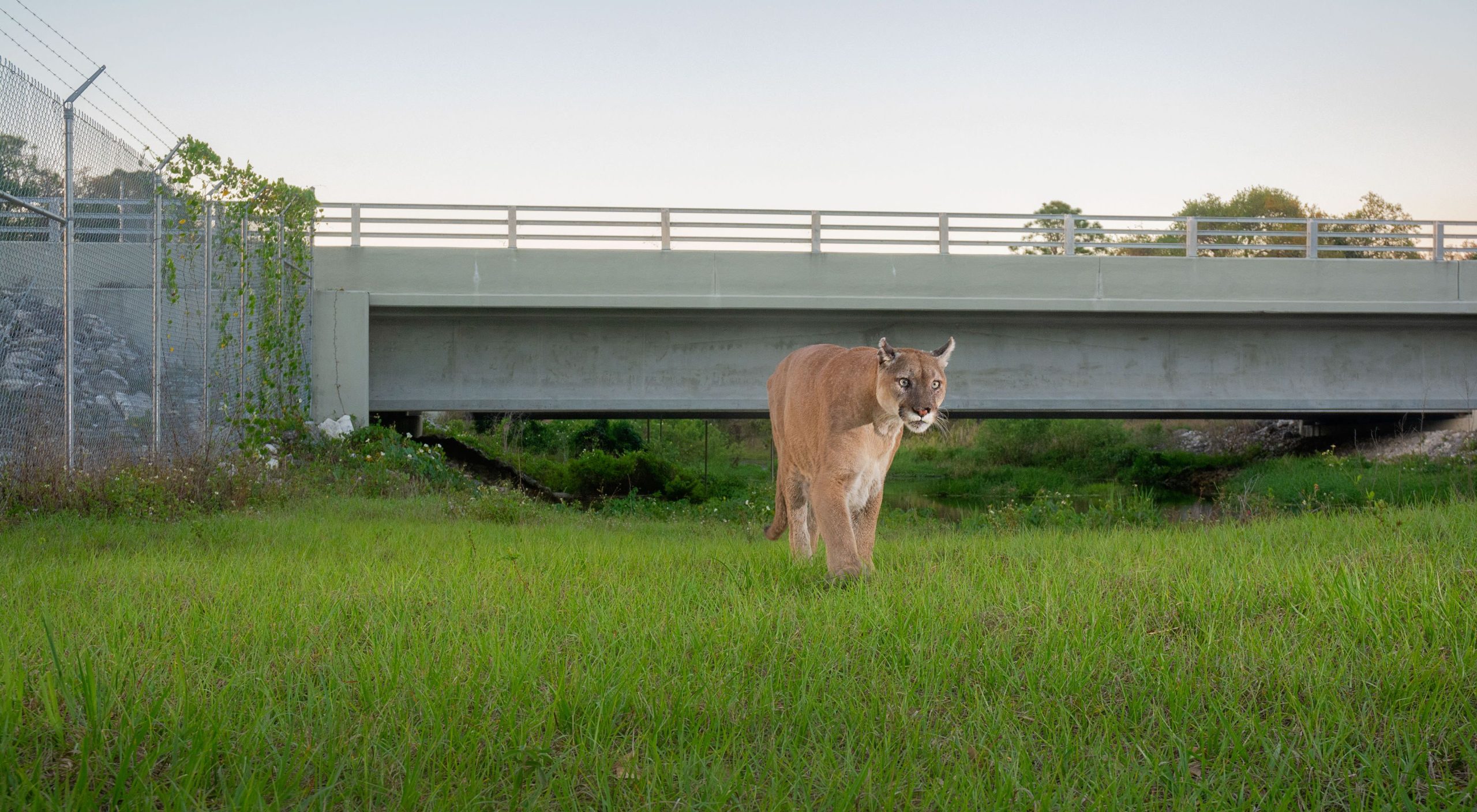
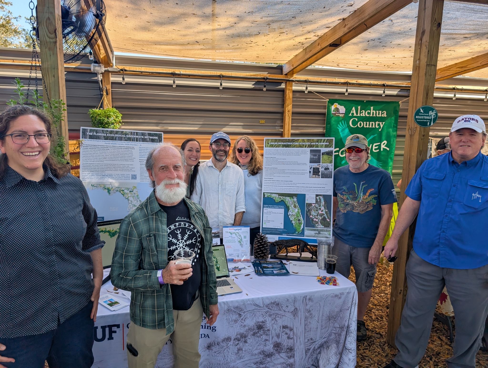
 Need Caption
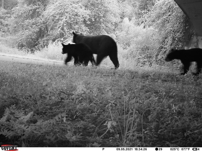


Beginning in 2024, the Center broadened its scope to more thoroughly explore the effects of linear infrastructure on conservation objectives and planning. The Center continues to integrate conservation and transportation planning through partnerships with FDOT and other state agencies and stakeholder groups. This initiative includes the following research, education, and outreach elements:
Research:
- multi-scale, spatial modeling and mapping
- collaborative field studies
- data layer and tool development for transportation and conservation planning
- machine-learning and AI exploration, such as smart road vehicle technologies
- The ecological effects of other linear infrastructure such as railways, powerlines and pipelines
Education and Outreach:
- Create applied resources, such as guidelines or BMPs for wildlife crossing structure and site design
- Conduct workshops and present at public forums/events to improve understanding of the ecological effects of roads and solutions to reduce conflicts/reintegrate natural landscapes
- Integrate subject matter in college studios or course curricula.
Learn more about Linear Infrastructure Ecology and Planning Projects
(project features go here) and introduction.
(Project features can be embedded on the page here or directed to their own feature page (can be discussed)
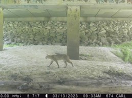
Eyes on the O2O Corridor
Wildlife Connectivity Monitoring
UF Center for Landscape Conservation
Planning and Putnam Land Conservancy are
leading a collaborative effort to monitor
wildlife activity across critical linkages of the
Florida Wildlife Corridor using a strategically
designed trail-camera network.
The project monitors and analyzes wildlife
movement and habitat use, evaluates
landscape connectivity and key gaps to
provide science-based guidance for
conservation land-use planning.
Beyond the field… information here about work with the initiative in the classroom? student research highlights? featuring engagement beyond partners and field work?
The Linear Infrastructure Ecology and Planning Program is funded entirely by research and grants. Your support through new partnerships, projects or direct financial support is extremely important.
Funding received by the Center is used to directly support research activities, including graduate and undergraduate student appointments, center staff and necessary research expenses. Please contact us for more information or consider making a financial contribution by clicking the support link below.