Outreach and Engagement
We believe that understanding the connection between healthy landscapes and thriving communities is key to a sustainable future.
Whether you are a seasoned professional, an engaged citizen, or a student eager to learn, our education and outreach initiatives offer unique opportunities to explore the economic, environmental, and recreational elements of thoughtful landscape conservation planning. We are dedicated to developing the science that underpins this work and we’re committed to sharing that knowledge with you.
We work with partners to offer webinars and workshops specifically designed to help regional and city planners, developers, and the public understand the value of good urban planning and smart growth principles for maintaining Florida’s natural, agricultural, and recreational resources.
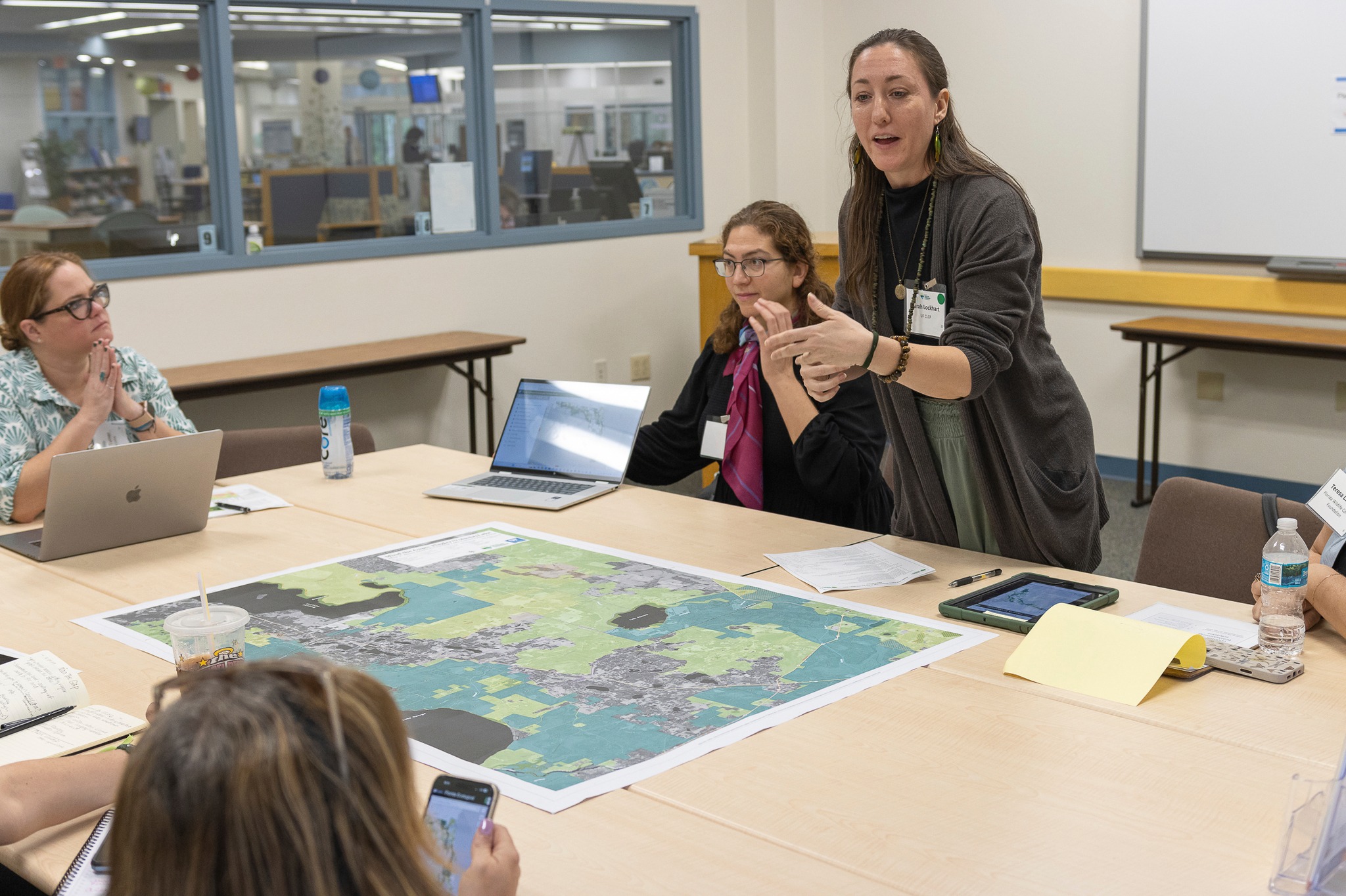
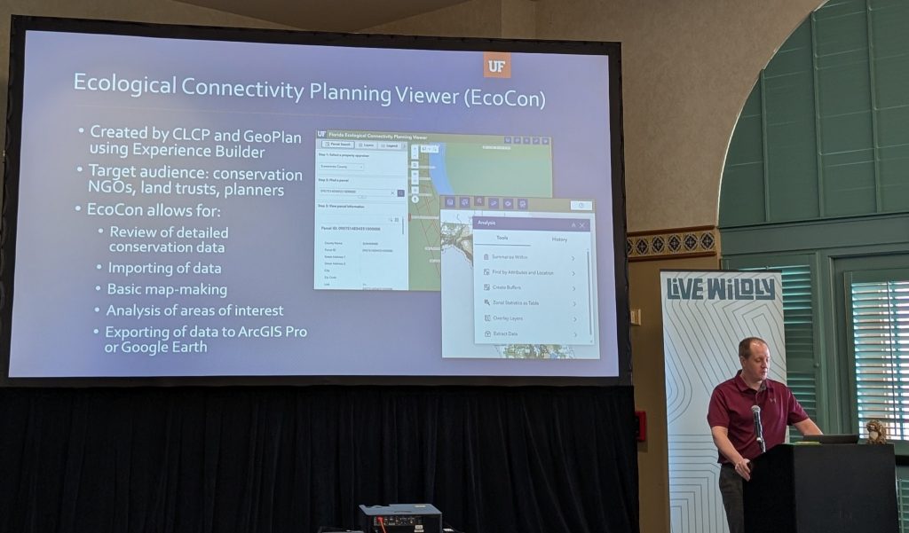
Our innovative Florida Ecological Greenways Network (FEGN) mapping tools provide essential information to planners, conservation professionals, policy makers, and everyday citizens alike empowering everyone to make informed planning and policy decisions.
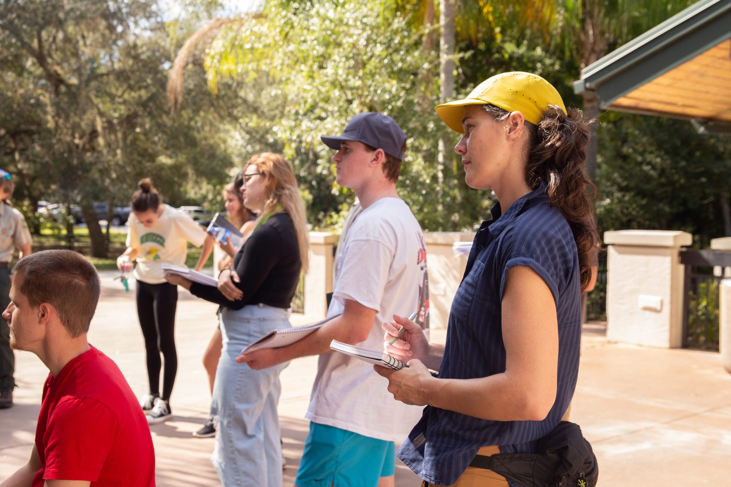
We’re also dedicated to nurturing the next generation of environmental leaders, working closely with students at the University of Florida to teach environmental policy, design, and responsible planning practices.
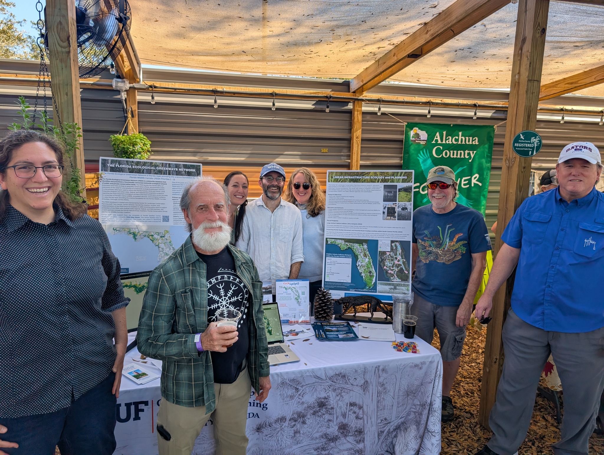
Beyond the classroom, we create engaging exhibitions, interactive StoryMaps, and diverse programmatic events all designed to help communicate the science developed by the Center and its partners, and to help the general public and policy makers understand the importance of careful conservation and land use planning for a sustainable future.
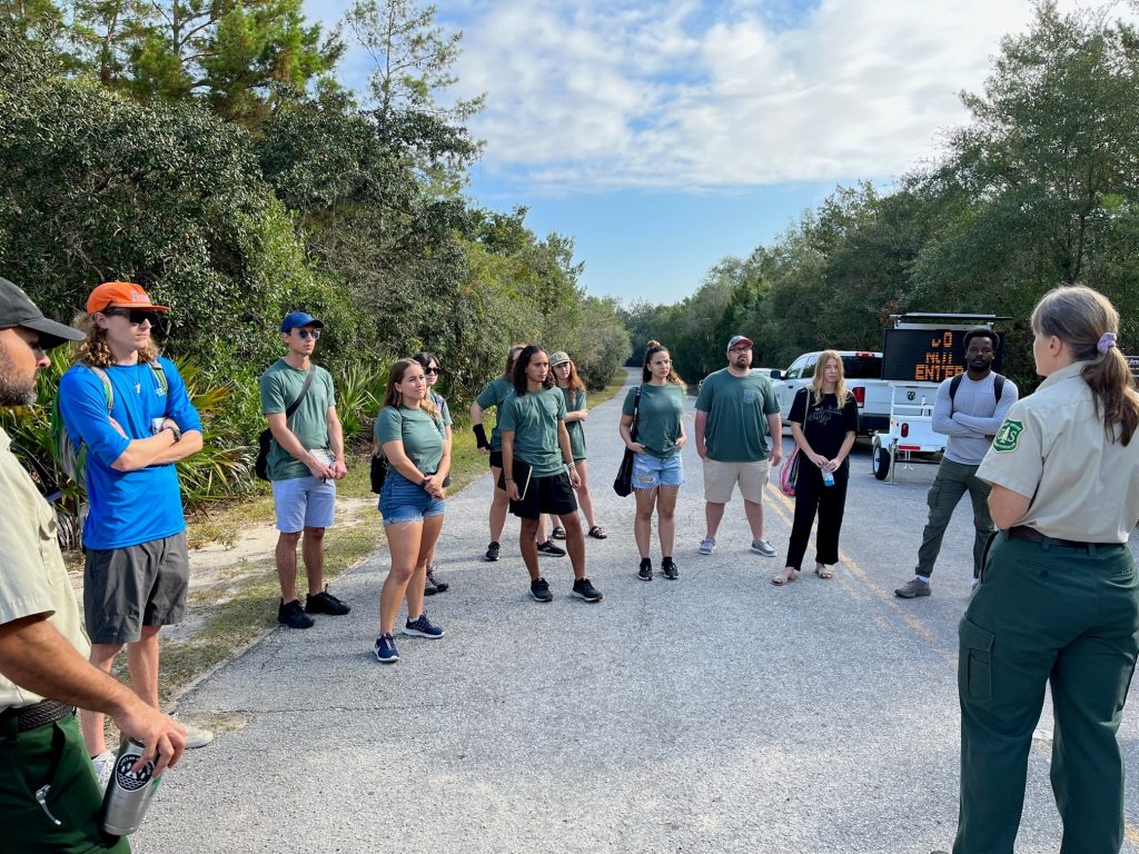
Student Engagement
Our Commitment to Students and Furthering Education
The Center for Landscape Conservation Planning provides learning and partnership opportunities for students:
- Center faculty lead classes and studio courses
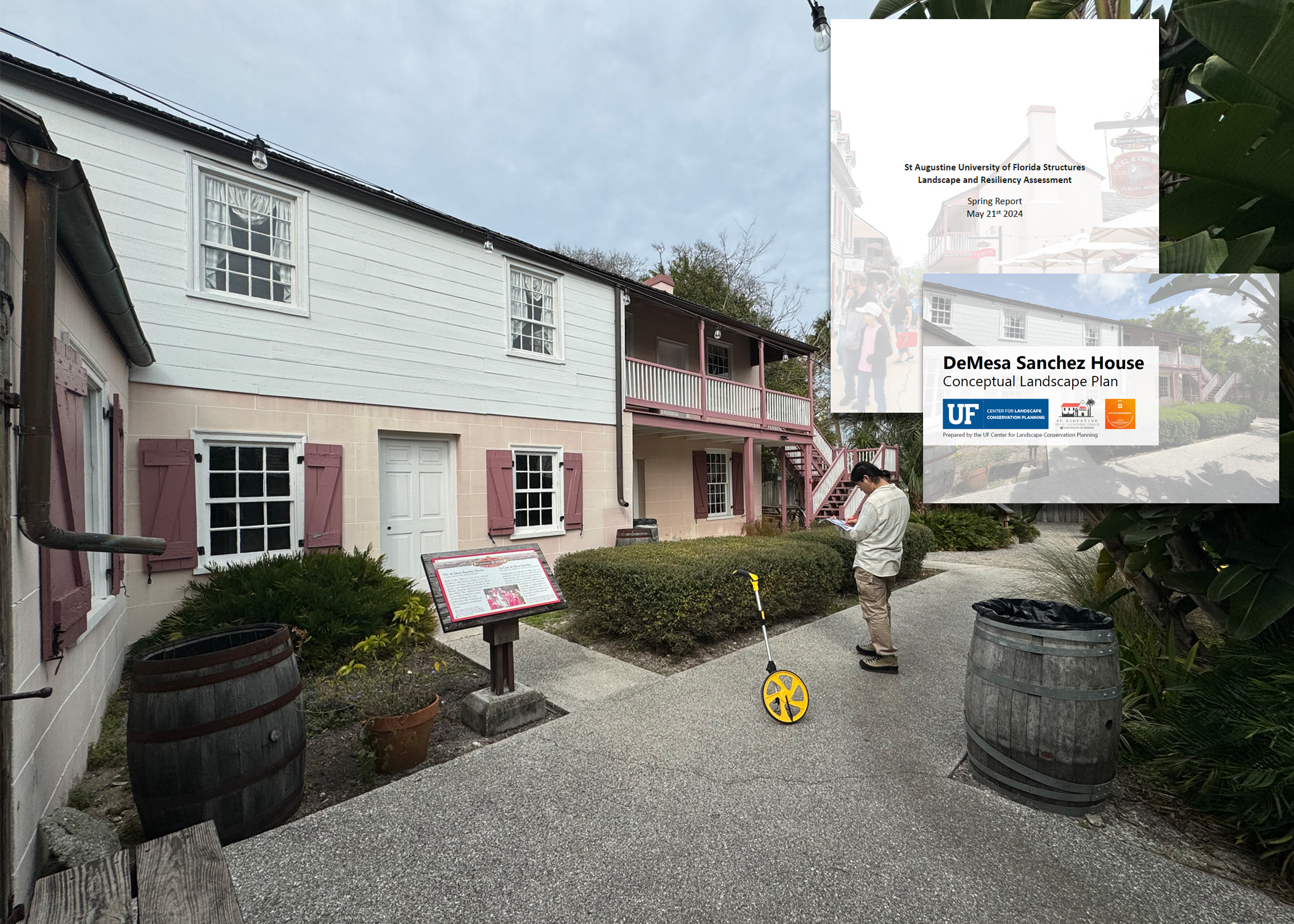
- BLA, MLA and PhD students are regularly hired to assist with Center project and research initiatives
- Center faculty and staff serve as advisors, chairs and committee members for:
- Undergraduate Capstones
- Master’s Thesis Projects
- PhD Dissertations
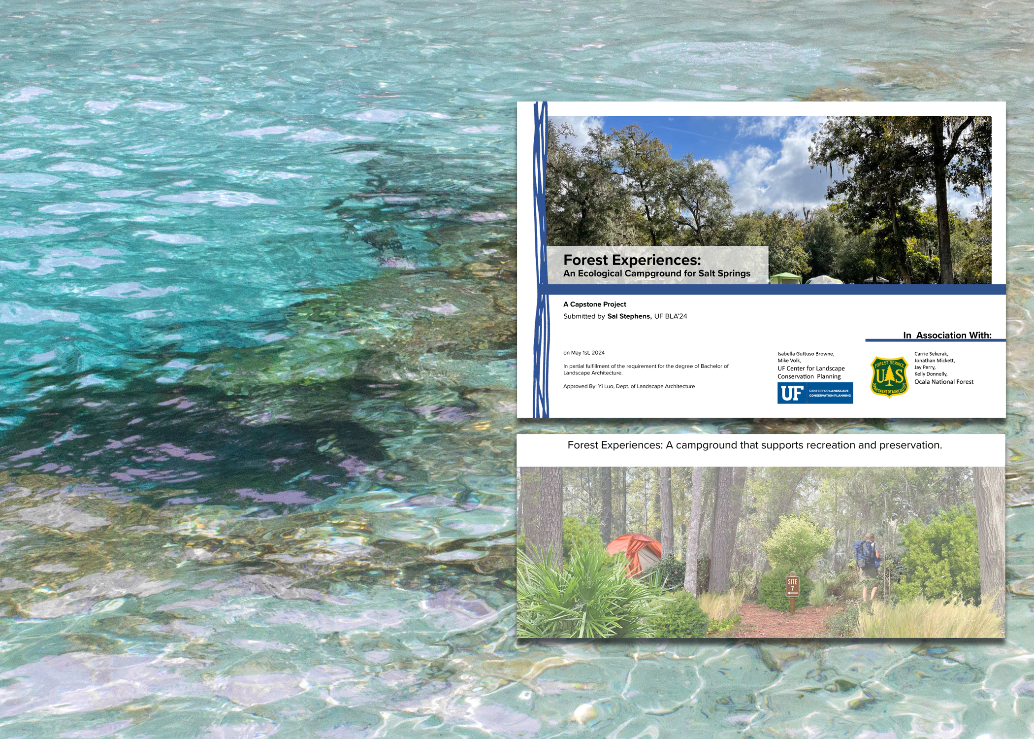
“The US Forest service entered into a partnership agreement with the Center to engage their expertise in innovative, creative, sustainable concept designs for Ocala National Forest’s Springs. The final projects presented by the students were nothing short of inspired, and all met the mission goals of the agency. The power of working with the landscape architecture studios came from the faculty guiding the explorations of so many creative and highly trained student minds. The Forest Service was able to form an overall concept from the many inputs of the energized, creative and impassioned students. “
– Carrie Sekerak, District Ranger for USDA Forest Service, Ocala National Forest
Student Work at the Center

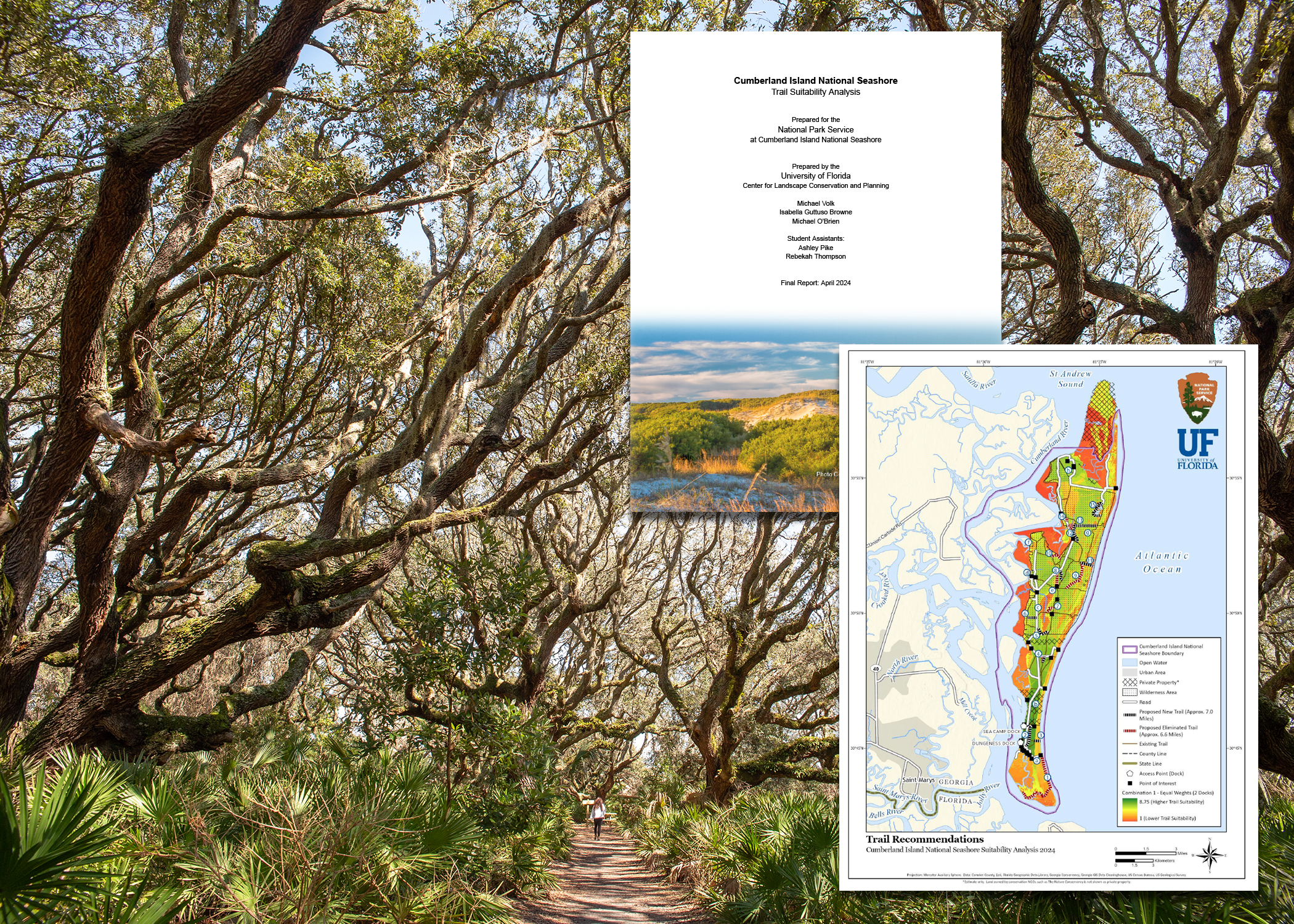
Megan Laffey: One Trail at a Time
BLA student Megan Laffey collaborated with the Center on research exploring trail and conservation colocation in the Florida Wildlife Corridor. Her capstone project, One Trail at a Time, received the ASLA Florida Student Award and earned her recognition as an LAF National Olmsted Scholar Undergraduate Finalist.

Exhibitions
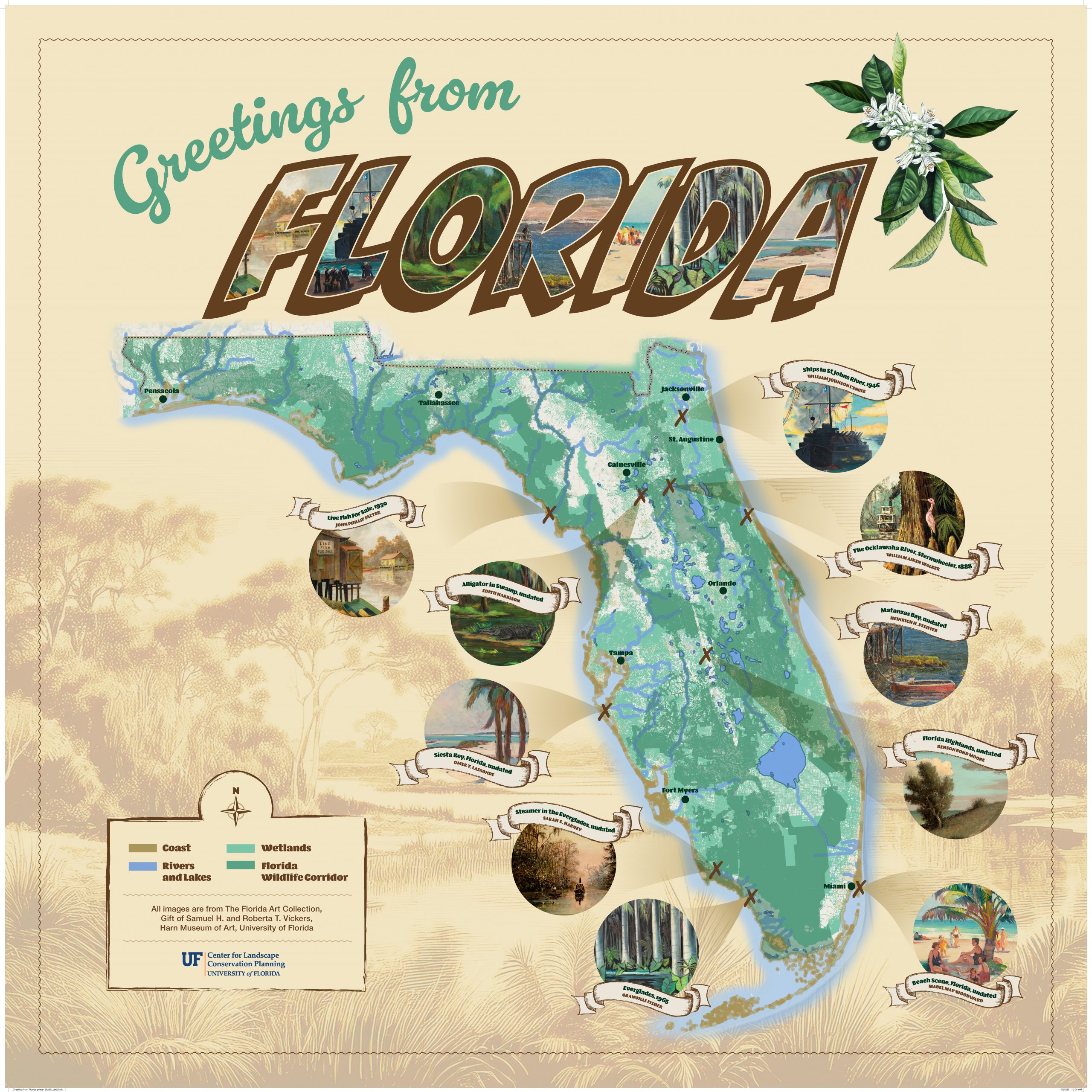
Wild Waters: Rivers, Lakes, Wetlands, Coast, and the Florida Wildlife Corridor
Governor’s House Cultural Center and Museum, St. Augustine
Opens September 1, 2025

Sanibel Sea Change: The Legacy and Future of Sanibel Island’s 50-Year Plan
Sanibel Island’s history is a masterclass in conservation planning. As one of the first community-led initiatives to create a land management plan that prioritized both ecological integrity and safe emergency evacuation, Sanibel set a national precedent. Recognized as a National Planning Landmark in 2014 by the American Planning Association, the island offers a unique blueprint for resilience. Follow this link to learn more about Sanibel’s path to becoming an economically thriving conservation-focused community.